Follow the river upstream from Flathead Lake and you’ll find a place unlike any other in Montana.
The Flathead River is formed at the southern edge of Glacier National Park, where the Middle Fork of the Flathead River and the North Fork of the Flathead River converge. The Flathead River runs 50 miles to Flathead Lake, taking its time and coursing through fertile farmland in the Flathead Valley.
The Flathead River between Glacier Park and Kalispell offers excellent fly fishing for rainbow trout, native Montana cutthroat trout and Lake Superior whitefish. The lower section of the river, closer to Flathead Lake, has good fishable populations of bass, pike and lake trout.
With some of the best agricultural land in the Flathead Valley, the Flathead River area offers unique possibilities of real estate, recreation or ag production.
Contact Montana West Realty to learn more about real estate along Montana’s Flathead River.
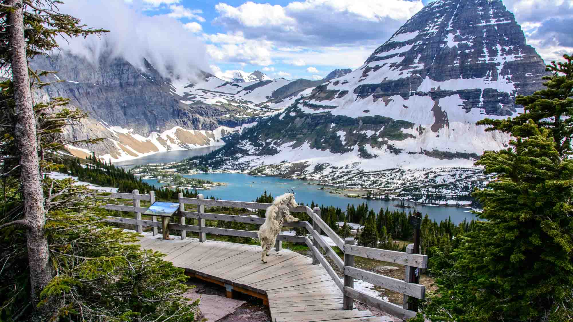
The area between Columbia Falls and Glacier National Park is taking new shape. In recent years this long-overlooked corner of northwest Montana has seen renewed interest from real estate buyers, notably because of the “Canyon’s” close proximity to Glacier National Park and the Flathead Valley.
The canyon, on the outskirts of the west entrance to Glacier National Park, includes the towns of Hungry Horse, Martin City, Coram and West Glacier, and it sits near the south end of Hungry Horse Reservoir. With the Middle Fork of the Flathead River cutting through the middle of the canyon, this area offers abundant recreation, remote living and incredible views of Glacier National Park.
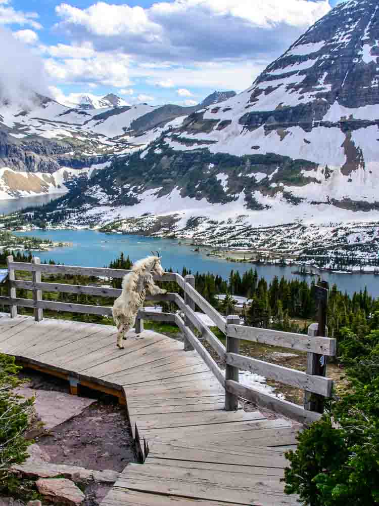